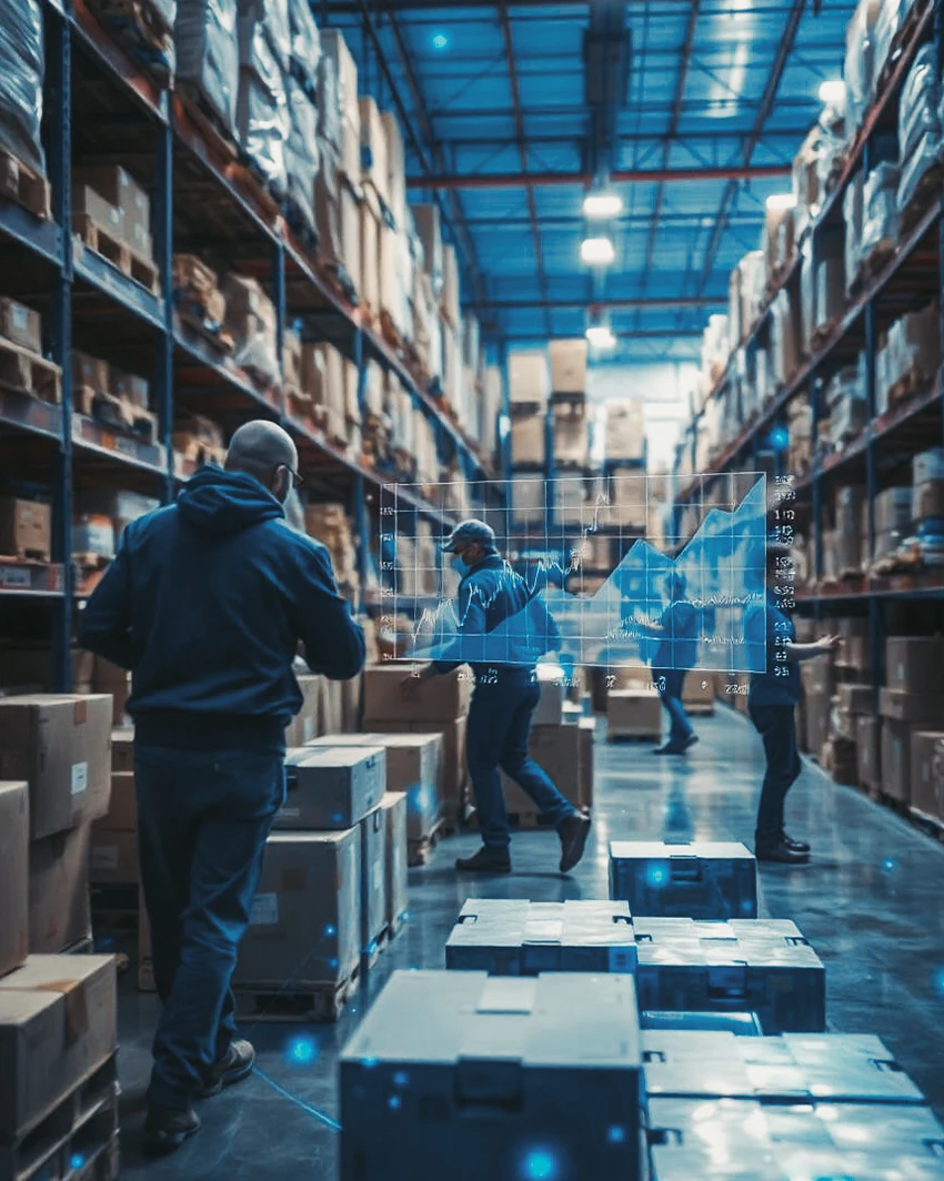


The Pollicino Project aims to create an innovative system to be used for managing problems related to the traceability and state of conservation of goods during the transport and storage phases.
In particular, it is proposed to create application prototypes that cover the following needs:
The technological platform is mainly based on RFID and GPS technologies for the identification and localization of the “boxes” while interoperability with other platforms is guaranteed by the use of XML (eXtended Markup Language) technology.
Prototype systems have been designed and built that are capable of detecting and storing the characteristic information of the treatment of shipping vehicles (containers) and making the information available to business processes in the form of web services, directly accessible from the ERP system and from all integrated applications.
The project involves the design and construction of a prototype infrastructure based on technologies (RFID, GPS, etc.), which allows for the real-time detection of information relating to the location of goods and the physical operations performed on them.
Intelligent identification systems, mobile terminals, sensing antennas, wi-fi devices, departmental databases, process integration systems and ERP systems have been used. The aim is to integrate info-mobility applications applied to goods with RFID applications and to equip the entire logistics chain with a tracking system based on intelligent “tags” capable not only of being identified by local detection systems (RFID antennas), but also of being “tracked” along transport routes, through systems based on GPS (Global Positioning System) technologies and GIS (Geographical Information System) systems.
Usiamo cookie per ottimizzare il nostro sito web ed i nostri servizi.